Ísafjörður → Reykjavík
Today, 19 Oct · leaving 19:00 · Arrive around 01:56
- Snow on the road likely: Brattabrekka, 23:46.
- Reported now on Dynjandisheiði: “Hálkublettir” — icy.
- Reported now on Brattabrekka: “Hálkublettir” — icy.
- Wet snow and slush: Dynjandisheiði við sýslumörk and between Klettsháls and Búðardalur, 20:11–22:54.
- Distance
- 420 km
- Route 60, 1
- Driving
- 6 h 19 min
- 6 h 57 min with breaks
- Highest point
- 486 m
- In the dark
- 6 h 57 min
- 4 passes

The road, stretch by stretch
Arrow keys move the map, plus and minus zoom, 0 shows the whole drive. Tap the road for the forecast and the report at that spot.
Vegagerðin's report right now, stretch by stretch.
- Clear373 km
- Slippery45 km
- Not reported on2 km
- Webcams17
The road ahead
Height above the sea, the weather where you'll be when you're there, and the road surface it points to.
Webcams on the way
17 of Vegagerðin's cameras beside the road, in driving order — and when you pass each.
- BB-göng_TUumferdin.is— BB-göng_TU, livekm 6 · 114 m · around 19:06Clear right now

- BB-göng_BRumferdin.is— BB-göng_BR, livekm 12 · 164 m · around 19:13Clear right now

- Gemlufallsheiðiumferdin.is— Gemlufallsheiði, livekm 25 · 239 m · around 19:25Clear right now

- Dýrafjarðargöng norðurumferdin.is— Dýrafjarðargöng norður, livekm 45 · 43 m · around 19:46Clear right now

- Dýrafjarðargöng suðurumferdin.is— Dýrafjarðargöng suður, livekm 51 · 14 m · around 19:52Clear right now

- Kjálkafjörðurumferdin.is— Kjálkafjörður, livekm 112 · 20 m · around 20:51Clear right now

- Klettshálsumferdin.is— Klettsháls, livekm 141 · 296 m · around 21:18Clear right now

- Klettsháls - brekkaumferdin.is— Klettsháls - brekka, livekm 142 · 251 m · around 21:19Clear right now

- Ódrjúgshálsumferdin.is— Ódrjúgsháls, livekm 175 · 120 m · around 21:51Clear right now

- Hallsteinsnesumferdin.is— Hallsteinsnes, livekm 186 · 9 m · around 22:01Clear right now

- Svínadalurumferdin.is— Svínadalur, livekm 238 · 199 m · around 22:50Clear right now
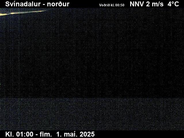
- Brattabrekkaumferdin.is— Brattabrekka, livekm 297 · 361 m · around 23:46Slippery right now
- km 321 · 38 m · around 00:10Clear right now

- Hafnarfjallumferdin.is— Hafnarfjall, livekm 356 · 12 m · around 00:48Clear right now
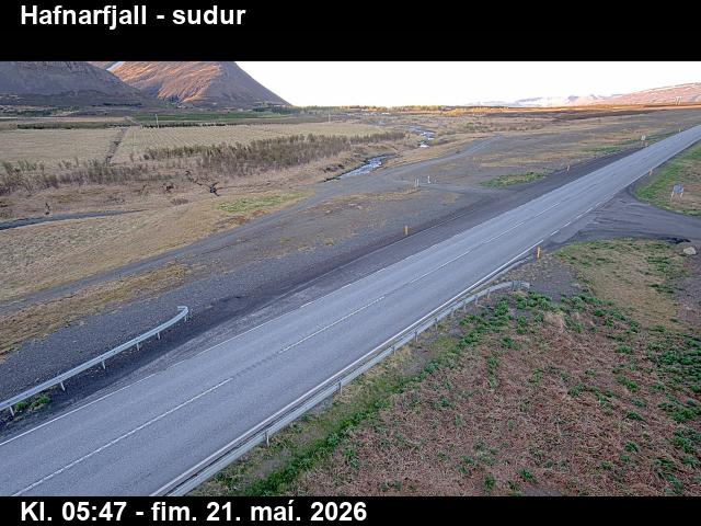
- Grundartangiumferdin.is— Grundartangi, livekm 372 · 18 m · around 01:05Clear right now

- Blikdalsáumferdin.is— Blikdalsá, livekm 388 · 15 m · around 01:22Clear right now
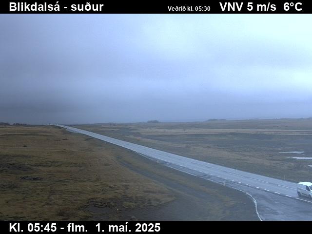
- Leirvogstungumelarumferdin.is— Leirvogstungumelar, livekm 402 · 18 m · around 01:37Clear right now

Webcams by Vegagerðin, the Icelandic Road and Coastal Administration (CC BY 4.0), refreshed every few minutes — the time is in the picture. See them all on umferdin.is.
Stop by stop
Times include short breaks. The surface is our estimate from the forecast.
- 19:00ÍsafjörðurStart · 67 m4°2 ↑6 m/sWetDark
- 19:2525 minGemlufallsheiðiMountain pass · 250 m3°6 ↑8 m/sWetDarkNow (18:50): 3° · road 3° · ↑2 m/s
- 20:011 h 2 minDynjandiOn the way · 10 m5°4 ↑10 m/s0.2 mm/hWetDark
- 20:111 h 12 minDynjandisheiði við sýslumörkMountain pass · 502 m1°6 ↑10 m/s0.4 mm/hSlushDarkNow (18:50): – · ↑11 m/sOnward: slush
- 20:311 h 31 minFlókalundurOn the way · 17 m4°4 ↑10 m/s0.4 mm/hWetDark
- 21:172 h 18 minKlettshálsMountain pass · 280 m1°5 ↑8 m/s0.8 mm/hWetDarkNow (18:50): 1° · road 2° · ↑10 m/sOnward: slush
- 23:134 h 13 min
- 23:464 h 46 minBrattabrekkaMountain pass · 414 m0°5 ↑6 m/s0.2 mm/hSnow on the roadDarkNow (18:50): 0° · road 1° · ↑6 m/s
- 00:005 hBifröstOn the way · 47 m3°2 ↑4 m/s0.5 mm/hWetDark
- 00:355 h 36 minBorgarnesOn the way · 3 m6°6 ↑8 m/sDryDark
- 00:475 h 48 minHafnarfjallNotorious gusts · 41 m4°4 ↑8 m/sDryDarkNow (18:50): 4° · road 5° · ↑7 m/s
- 01:306 h 31 minKjalarnesNotorious gusts · 38 m4°3 ↑4 m/sWetDarkNow (18:50): 5° · road 5° · ↑4 m/s
- 01:566 h 57 minReykjavíkArrival · 5 m5°3 ↑5 m/sDryDark
The road surface here is our estimate from the forecast, not a report. Always check umferdin.is before you set off.
Tyres and the car
Snow or ice is likely on this drive. Studs are normally banned until 1 November, but the law allows them when driving conditions require it — and these will. At the least, ask your rental for winter tyres.
Studded tyres are allowed from 1 November to 14 April. Outside those dates the law allows them only when driving conditions require them.
- A 4×4 with good tyres gives you margin in snow — but drifting snow and strong gusts stop 4×4s too.
On this road right now
Vegagerðin's latest report for each stretch, and the roadside stations.
- DynjandisheiðiPatches of ice
- BrattabrekkaPatches of ice
- Clear elsewhere on the route.
| Station | Air | Road | Gusts |
|---|---|---|---|
| Gemlufallsheiði · 18:50 | 3° | 3° | 2 |
| Klettsháls · 18:50 | 1° | 2° | 10 |
| Brattabrekka · 18:50 | 0° | 1° | 6 |
| Hafnarfjall · 18:50 | 4° | 5° | 7 |
| Kjalarnes · 18:50 | 5° | 5° | 4 |
Questions visitors ask
How long is the drive from Ísafjörður to Reykjavík?
About 420 km on Route 60 and 1 — around 6 h 19 min of driving, longer with stops for fuel, food and photos.
What's the highest point on the road from Ísafjörður to Reykjavík?
about 486 m above the sea. The road crosses Gemlufallsheiði, Dynjandisheiði við sýslumörk, Klettsháls, Brattabrekka — the places where ice and snow come first. Hafnarfjall and Kjalarnes are known for violent gusts.
Is the road from Ísafjörður to Reykjavík open today?
It's open. Vegagerðin reports: Dynjandisheiði: patches of ice; Brattabrekka: patches of ice.
Do I need studded tyres to drive from Ísafjörður to Reykjavík?
Winter conditions — studs allowed and wise. Snow or ice is likely on this drive. Studs are normally banned until 1 November, but the law allows them when driving conditions require it — and these will. At the least, ask your rental for winter tyres. Studded tyres are allowed from 1 November to 14 April. Outside those dates the law allows them only when driving conditions require them.
What's the weather on the drive Monday 19 Oct?
Difficult driving, leaving at 19:00. Snow on the road likely: Brattabrekka, 23:46. Reported now on Dynjandisheiði: “Hálkublettir” — icy. Reported now on Brattabrekka: “Hálkublettir” — icy. Wet snow and slush: Dynjandisheiði við sýslumörk and between Klettsháls and Búðardalur, 20:11–22:54. Poor visibility: between Dynjandisheiði við sýslumörk and Flókalundur, between Klettsháls and Búðardalur and Brattabrekka, 20:20–23:46.
Popular drives
- Keflavík Airport → Reykjavík
- Reykjavík → Akureyri
- Reykjavík → Vík
- Reykjavík → Jökulsárlón
- Reykjavík → Geysir
- Reykjavík → Höfn
- Reykjavík → Stykkishólmur
- Reykjavík → Ísafjörður
- Keflavík Airport → Blue Lagoon
- Akureyri → Mývatn
- Akureyri → Egilsstaðir
- Egilsstaðir → Höfn
- Akureyri → Húsavík
- Reykjavík → Seljalandsfoss
- Vík → Jökulsárlón
- Reykjavík → Kirkjufell
Road reports and stations: Vegagerðin. Route © OpenStreetMap contributors.