Seljalandsfoss → Reykjavík
Today, 19 Oct · leaving 19:00 · Arrive around 21:20
- Gusts up to 17 m/s at Seljalandsfoss around 19:00 — hold the car door with both hands.
- Poor visibility: Hellisheiði, 20:43.
- Distance
- 133 km
- Route 1
- Driving
- 2 h 8 min
- 2 h 21 min with breaks
- Highest point
- 351 m
- Hellisheiði
- In the dark
- 2 h 21 min
- 1 pass
The road, stretch by stretch
Arrow keys move the map, plus and minus zoom, 0 shows the whole drive. Tap the road for the forecast and the report at that spot.
Vegagerðin's report right now, stretch by stretch.
- Clear129 km
- Not reported on4 km
- Webcams13
The road ahead
Height above the sea, the weather where you'll be when you're there, and the road surface it points to.
Webcams on the way
13 of Vegagerðin's cameras beside the road, in driving order — and when you pass each.
- Markarfljót (Bakkafjöruvegamót)umferdin.is— Markarfljót (Bakkafjöruvegamót), livekm 3 · 11 m · around 19:03Clear right now

- Landvegamótumferdin.is— Landvegamót, livekm 44 · 32 m · around 19:46Clear right now

- Skeiðavegamótumferdin.is— Skeiðavegamót, livekm 57 · 35 m · around 20:00Clear right now

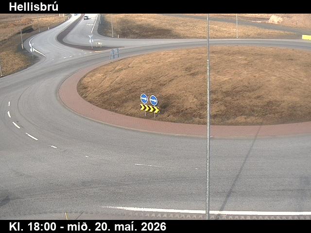
- Hellisbrúumferdin.is— Hellisbrú, livekm 75 · 17 m · around 20:19Clear right now
- Kotströndumferdin.is— Kotströnd, livekm 82 · 6 m · around 20:27Clear right now
- Kambar neðstumferdin.is— Kambar neðst, livekm 89 · 76 m · around 20:35Clear right now

- Kambar brekkaumferdin.is— Kambar brekka, livekm 90 · 131 m · around 20:35Clear right now

- km 91 · 190 m · around 20:37Clear right now

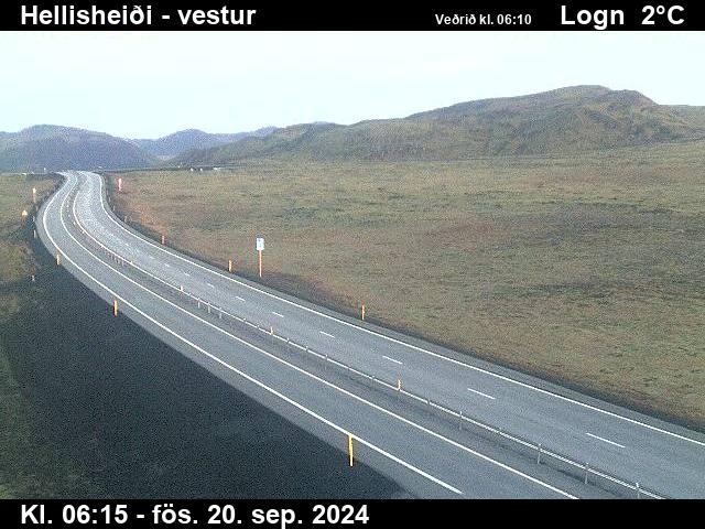
- Hellisheiðiumferdin.is— Hellisheiði, livekm 97 · 351 m · around 20:43Clear right now
- Hveradalirumferdin.is— Hveradalir, livekm 99 · 343 m · around 20:45Clear right now

- Þrengslavegamótumferdin.is— Þrengslavegamót, livekm 104 · 265 m · around 20:50Clear right now

- Litla Kaffistofanumferdin.is— Litla Kaffistofan, livekm 106 · 231 m · around 20:52Clear right now

- Sandskeiðumferdin.is— Sandskeið, livekm 111 · 159 m · around 20:57Clear right now

Webcams by Vegagerðin, the Icelandic Road and Coastal Administration (CC BY 4.0), refreshed every few minutes — the time is in the picture. See them all on umferdin.is.
Stop by stop
Times include short breaks. The surface is our estimate from the forecast.
- 19:00SeljalandsfossStart · 24 m7°10 ↑17 m/s0.7 mm/hWetDark
- 19:2323 minHvolsvöllurOn the way · 23 m7°9 ↑15 m/s0.4 mm/hWetDark
- 19:3839 minHellaOn the way · 17 m5°7 ↑13 m/s2.1 mm/hWetDark
- 20:151 h 16 minSelfossOn the way · 8 m4°1 ↑13 m/s2.4 mm/hWetDark
- 20:321 h 32 minHveragerðiOn the way · 19 m4°2 ↑3 m/s0.2 mm/hWetDark
- 20:431 h 43 minHellisheiðiMountain pass · 384 m1°4 ↑7 m/s0.1 mm/hWetDarkNow (18:50): 1° · road 3° · ↑18 m/s
- 21:202 h 21 minReykjavíkArrival · 5 m5°3 ↑6 m/s0.8 mm/hWetDark
The road surface here is our estimate from the forecast, not a report. Always check umferdin.is before you set off.
Tyres and the car
No ice or snow expected on this drive. Studs aren't allowed now unless conditions require them.
Studded tyres are allowed from 1 November to 14 April. Outside those dates the law allows them only when driving conditions require them.
- Open the doors with both hands where it's gusty — rental companies charge for doors the wind takes.
On this road right now
Vegagerðin's latest report for each stretch, and the roadside stations.
Clear all the way, Vegagerðin reports.
| Station | Air | Road | Gusts |
|---|---|---|---|
| Hellisheiði · 18:50 | 1° | 3° | 18 |
Questions visitors ask
How long is the drive from Seljalandsfoss to Reykjavík?
About 133 km on Route 1 — around 2 h 8 min of driving, longer with stops for fuel, food and photos.
What's the highest point on the road from Seljalandsfoss to Reykjavík?
Hellisheiði, about 351 m above the sea. The road crosses Hellisheiði — the places where ice and snow come first.
Is the road from Seljalandsfoss to Reykjavík open today?
Yes — Vegagerðin reports the road clear all the way. Conditions change fast; check umferdin.is before you set off.
Do I need studded tyres to drive from Seljalandsfoss to Reykjavík?
Summer tyres are fine. No ice or snow expected on this drive. Studs aren't allowed now unless conditions require them. Studded tyres are allowed from 1 November to 14 April. Outside those dates the law allows them only when driving conditions require them.
What's the weather on the drive Monday 19 Oct?
Difficult driving, leaving at 19:00. Gusts up to 17 m/s at Seljalandsfoss around 19:00 — hold the car door with both hands. Poor visibility: Hellisheiði, 20:43.
Popular drives
- Keflavík Airport → Reykjavík
- Reykjavík → Akureyri
- Reykjavík → Vík
- Reykjavík → Jökulsárlón
- Reykjavík → Geysir
- Reykjavík → Höfn
- Reykjavík → Stykkishólmur
- Reykjavík → Ísafjörður
- Keflavík Airport → Blue Lagoon
- Akureyri → Mývatn
- Akureyri → Egilsstaðir
- Egilsstaðir → Höfn
- Akureyri → Húsavík
- Reykjavík → Seljalandsfoss
- Vík → Jökulsárlón
- Reykjavík → Kirkjufell
Road reports and stations: Vegagerðin. Route © OpenStreetMap contributors.